Corner to Corner, Day 53: York to Scunthorpe
https;//www.cycling4charity.org.uk
Report on the day:
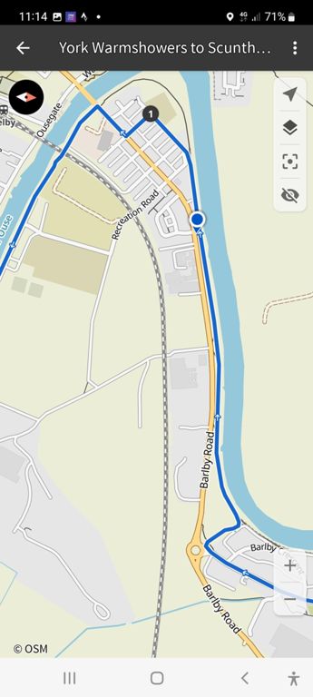
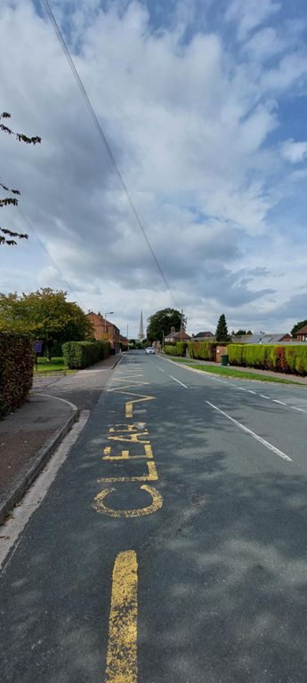
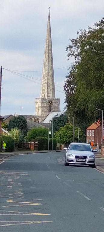
Adjusted route last night replacing unpaved sections. Alas with some busy B roads and missed a bit down a National Byway south of the Humber . As with all days, we recheck and remove all unpaved/cycleways.
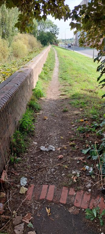
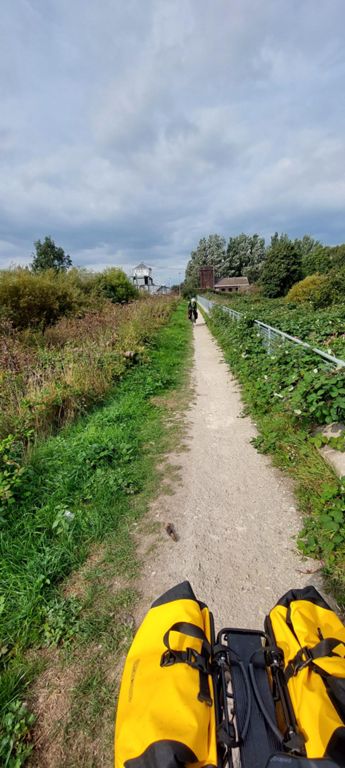
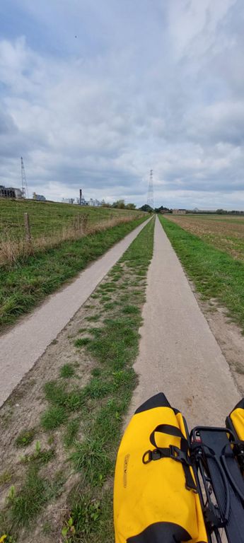
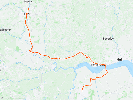
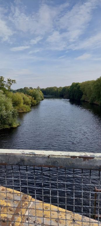
Otherwise, a great day, e.g. Trans Pennine Trail, straight as a die from near York to Selby, and the Humber Bridge. A few drops of rain near the end only.
Added at a later date:
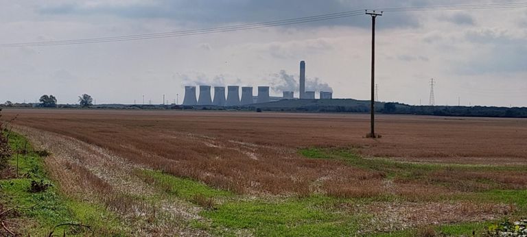
Why go east to the Humber Bridge, (HB) then west to Scunthorpe? Most of Corner to Corner was planned before booking overnight stops. Our route south touched the west of Scunthorpe, but a hotel on its east was booked, making HB a possibility. The next day was south of the town. For the future, retain the glorious route to and HB and overnight in Brigg, and a quiet route south 800+ft flatter than Route 1 from HB.
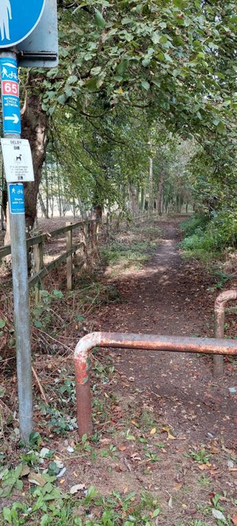
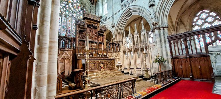
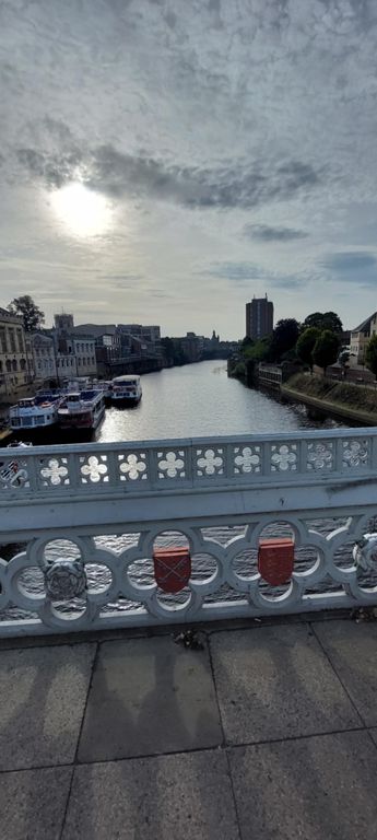
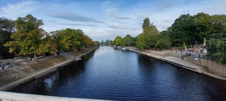
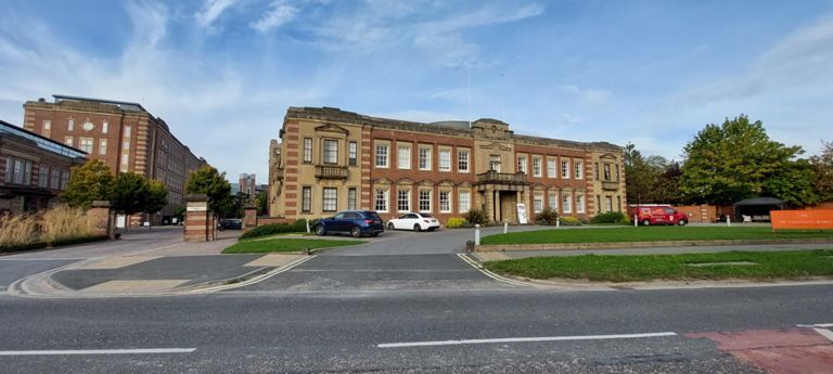
To improve in York: re-join Route 65 at Skeldergate Bridge and be beside River Ouse via Terry Avenue with Rowntree Park on our right, seeing York's Millennium Bridge and re-joining Bishopthorpe Road at Chocolate Works, crossing it to cycle beside York's Knavesmire Racecourse to the northern end of the Solar System Greenway to Selby.
https://www.youtube.com/watch?v=iHWFCzQGhHI&t=180s
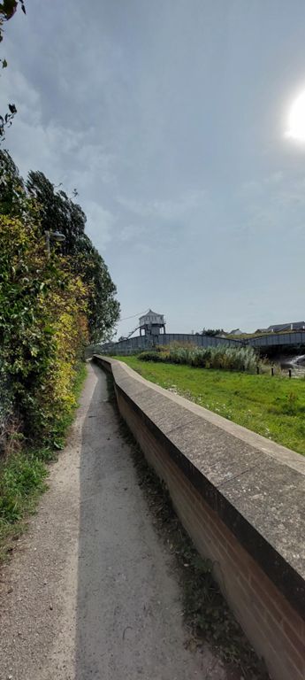
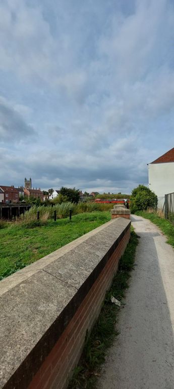
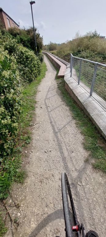
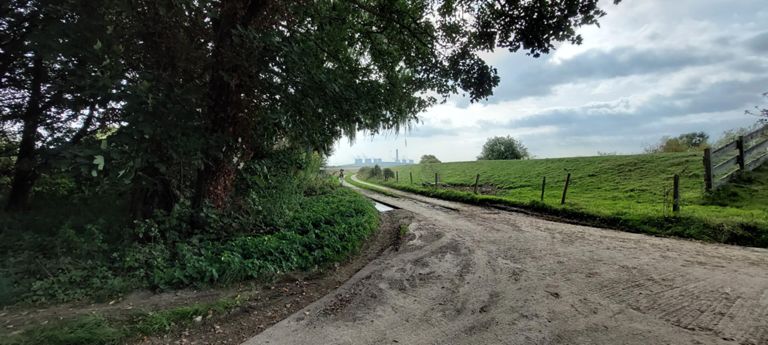
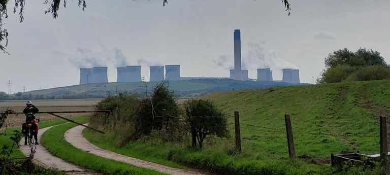
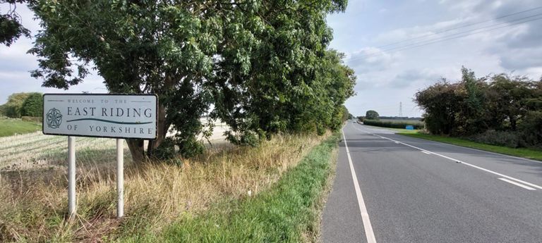
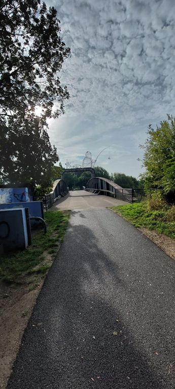
With tools now used, Wikipedia's and Cycle.Travel's descriptions of Route 65, OS maps with NCN overlay, Google Maps' Streeview, YouTube as well as Komoot, the original plan to follow Route 65 could have worked - 3.8miles longer, quieter, though with 3 unpaved sections: 1.01m, Hemingbrough-Barmby beside River Ouse, 0.44m, Faxfleet-Weighton Lock, 1.01m Weighton Lock-Broomfleet, with views of the ever widening River Ouse as it becomes the Humber Estuary and of the Humber Bridge. The revised route re-joined the planned just north of Ellerker.
Check Humber Bridge weather: https://www.humberbridge.co.uk/new-walking-and-cycling/
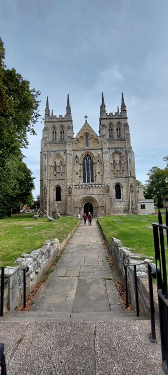
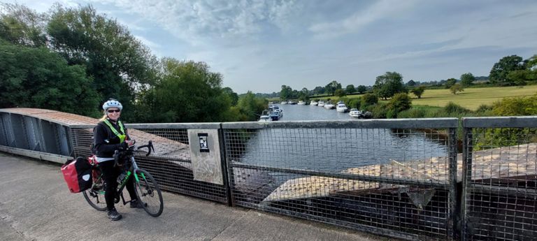
A National Byway from Barton-upon-Humber to New River Ancholme. The night before, I replaced Saxby Bridge over this with the 1836 Horkstow Bridge, which OS Maps suggest leads to less unpaved track; Komoot had the route from Saxby Bridge as all paved. Horkstow Bridge was also another highlight.
Distance
65.1 mi
Elev Gain
1,529 ft
Time
6h 17m

0:08

0:30